
Hastings Neighbors by Parcel Date
Define the block before opening any record. Write the target address, the date of the search, the nearest cross street, and a clear boundary such as the surrounding parcels or one platted block. The Adams County and City of Hastings GIS supplies geography. The assessor and deed index provide property-record fields. Directory and newspaper sources can identify a historic address entry when they actually list it. None creates a complete or current roster of people who may be nearby.
| Source | What It Shows About a Block | Access |
|---|---|---|
| Adams County and City of Hastings GIS | Mapped parcels, lots, subdivisions, streets, and contextual civic layers around a selected area | Public map application; layer details and popup order should be checked live |
| Adams County Assessor | Parcel/PIN, deed holder, legal description, sales, and property-card leads for a selected parcel | Public search after its data-use disclaimer; historical coverage is not published |
| Register of Deeds | Recorded property parties, instrument date/type, legal description, and available image indicator | Deeds Online, county links, or office and microfilm request |
| Hastings directories and Tribune | Dated address entries, notices, obituaries, and community references | ACGS, Hastings Public Library, Omaha Public Library, and FamilySearch routes |
| 1899 Sanborn map | Building footprints and use, street and block labels, and fire-related infrastructure for a historic snapshot | Library of Congress public-domain map set |
| Voter registration and precinct context | Polling-place and precinct geography, with tightly limited election-record use | VoterView, GIS precinct layer, and election-office rules |
| Engage Hastings | Public projects, participation context, and planning contact routes | City participation portal |
A deed holder or grantee is a recorded property actor, not proof of a present physical address. A directory entry has the opposite limitation: it can be an address clue for one edition but does not prove title. Keep the property, map, and historical-address layers distinct when considering Hastings neighbors.
Hastings Neighbor GIS Layers
The Hastings GIS is a partnership among the City of Hastings, Adams County, and Hastings Utilities. Its applications cover parcels, subdivisions, lots, assessor and deed data, streets, zoning, schools, voting precincts, storm sewer, water, sanitary infrastructure, floodplain, contours, and other planning or utility context. Each partner controls its own displayed data. The GIS states that data are updated on the first business day of the month when needed.
Use one layer at a time. Parcels and lots identify the physical units. Zoning describes a land-use designation. School and voting-precinct layers answer civic-geography questions. Infrastructure layers can explain a public works context. They do not identify every person at an address, and they should not be blended into a single claim about a block.
| Available layer | Block context | Custodian or limit |
|---|---|---|
| Parcels, lots, and subdivisions | Parcel boundaries and plat context | Use the recorded legal description for a legal conclusion |
| Streets and zoning | Street geometry and planning designation | Different from postal delivery or an association boundary |
| Schools and voting precincts | Public-service and election geography | Not a household directory |
| Infrastructure and flood layers | Public physical context around a block | Partner data may update independently |
The Adams County and City of Hastings GIS map is the source for the parcel and contextual layers discussed here.
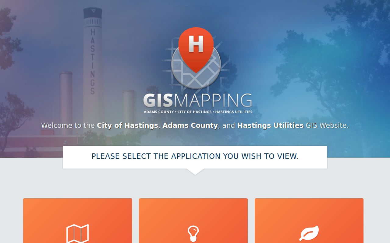
The screenshot shows the official GIS application, but the research did not capture stable address-search controls, click-popup field order, export tools, or pagination. Confirm those details in the live application before relying on a specific display.
Note: A GIS map click is an interpretation aid; the recorded legal description remains the property identifier to carry into a deed search.
Map Hastings Neighbor Parcels
Use a narrow parcel flow for the immediate block. It keeps a current map result, an assessor field, a recorded instrument, and a historic directory entry from being mistaken for the same kind of evidence. The task is to document adjacent parcels around one address, not to create a list of local people.
- Enter the exact address in the live GIS or locate its mapped parcel, then record the access date and the map boundary being reviewed.
- Identify the surrounding parcels, lots, or subdivision context and copy each PIN or legal description where the official parcel tools display it.
- Use the Adams County Assessor to confirm the parcel's PIN, legal description, and current deed-holder field.
- For a recorded transfer, search the Register of Deeds by instrument parties and legal description, then record the instrument number, recording date, type, and parties.
- Use a directory only when researching a historic address entry, and cite its edition, page, and year. For a longer street chain, use the Hastings street directory route.
This sequence is address to GIS parcel, then assessor PIN and legal description, then recorder instrument, then a directory for historic address evidence. It avoids the unsupported leap from a property field to a conclusion about who occupies an address.
Hastings Neighbor Deed Evidence
The Adams County Register of Deeds records deeds, mortgages, assignments, releases, construction liens, tax liens, UCC filings, plats, surveys, and other instruments affecting real property. In Nebraska Deeds Online, Adams County uses code 14. The index is described as showing instrument number, date, document type, grantor, grantee, legal description, and an image indicator for scanned records.
Record the legal description along with the instrument details. A mortgage release is not a transfer. A lien is not proof of ownership. Likewise, a name on a deed establishes a role in that recorded instrument, not present occupancy. If an older instrument is not online, the Register of Deeds at 500 N Denver Ave, 402-461-7148, is open Monday through Friday from 9:00 a.m. to 5:00 p.m. and describes daily scanning and microfilming. Ask about a known instrument, date, book/page, or legal description instead of assuming the online search covers every year.
Historic Hastings Neighbor Block
For a nineteenth-century block snapshot, use the 1899 Hastings Sanborn map. The verified set has 15 public-domain sheets. It can show building footprints and use, street and block numbers, fire-related infrastructure, and occasional business names. That is valuable for seeing the physical setting around an early address, but it is not an occupancy database.
Keep historic observations in their own row of notes: map date, sheet, intersection, lot or block, and what the map actually labels. Then compare a later directory edition, a Tribune date, or a current GIS observation without merging 1899, 1905, 1920, and current evidence into one claim. The Hastings Public Library offers Tribune microfilm from October 2, 1905-current, while ACGS reports city directories from 1882-present.
Note: The research verified the 1899 set, but no specific sheet interpretation was completed for a particular Hastings address.
Hastings Neighbor Quadrant Limits
South, West, Central, and East are useful broad planning quadrants in Hastings. The 2026 neighborhood character study reports its findings using that framework, and the city's 2025 plan uses it for planning geography. Those labels are not an official named-neighborhood association directory, and they are not ZIP boundaries.
No official Hastings neighborhood-association directory was located in the research. That absence matters. Do not assign a formal association to a block, or treat a planning quadrant as an association, without a current source from the organization or city. The bounded parcel and dated map remain more precise than a broad quadrant label.
Hastings Neighbors and City Projects
Engage Hastings is the city portal for public project maps, neighborhood participation, and planning contacts. It is useful for understanding a current public project or participation opportunity that affects a bounded area. It does not establish a household list, a property interest, or a historic address entry.
The Engage Hastings project map and participation portal provides the official city source for this civic layer.
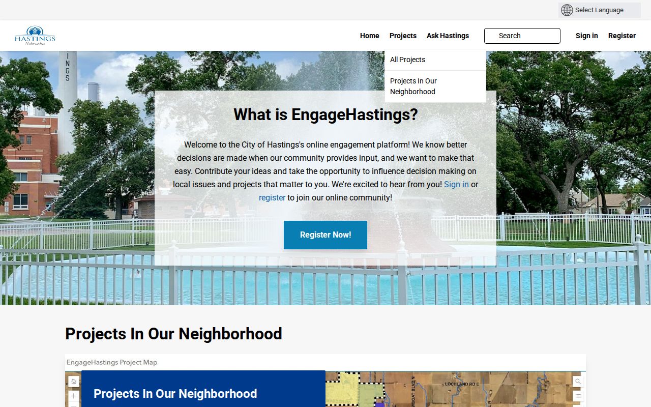
Use a project page to record the project name, date, map area, and city contact, then keep those civic facts separate from parcel, directory, or resident-history evidence.
Hastings Neighbor Civic Context
Some sources describe the civic or commercial setting of a block without identifying private households. The Downtown CRA dates its conservation and redevelopment district to March 1987. The Hastings Chamber has a current contact and member-directory layer for entity verification. Both are useful only for the type of record they maintain.
| Category | Useful for | Not proof of |
|---|---|---|
| Official parcel, assessor, and deed records | Property identifiers, instrument parties, and legal descriptions | Every person present at an address |
| Historic directories and newspapers | Dated address or community references when cited by edition or date | Current physical presence or title |
| Civic and entity directories | Public project, district, or entity context | Private-household identity |
| Commercial neighbor-lookup category | A separate category of compiled claims | Authoritative, current, or consent-based local evidence |
Commercial compiled records are not an official source layer here because their identity matching, freshness, consent, and correction practices are not authoritative. Use the custodian or institution that holds the actual record, then describe the result narrowly.
Hastings Neighbor Privacy Limits
Nebraska law places firm limits around personal information. Voter registration has restricted inspection and distribution rules; voter lists cannot be posted or made accessible on the Internet. The Nebraska VoterView route is for registration and polling-place information, not a block directory. The Address Confidentiality Program protects qualifying people who use a substitute address, and an old public address never authorizes an effort to locate a protected current one.
Protected records can include confidential voter fields, Address Confidentiality Program information, library-patron details, personal identifiers, sensitive court or vital material, and motor-vehicle data. See the Nebraska Address Confidentiality Program for its safety purpose and the Nebraska public-records exemptions for related limits.
Lawful use. Use Hastings neighbor records for block curiosity, civic context, family history, and personal safety awareness. Do not use them to watch, harass, intimidate, or try to locate a protected person.