
Follow a Hastings Street Address
For a Hastings street directory search, start by making the address consistent. USPS treats street address, city, and state as required fields in its address tool, with apartment or suite detail available to narrow a result. That postal result only standardizes delivery information. It does not establish who is at the address. Keep directional prefixes, suffixes, unit details, and the search date with the result before moving into Adams County records.
The next question is whether the record concerns a parcel, a recorded instrument, or an occupant in a dated directory. The Adams County Assessor and GIS help identify the place. The Register of Deeds supplies the instrument trail. A Hastings city directory or Tribune page can be evidence of past occupancy, but each needs its own edition or publication date. Those roles should never be collapsed into one claim.
- Normalize the address with the USPS ZIP Code Lookup, including the unit when one applies.
- Run the house number and street in the Adams County Assessor search; save the parcel identifier and legal description.
- Use the Adams County and City of Hastings GIS to check the mapped parcel, lot, subdivision, and the street segment.
- Search Nebraska Deeds Online for the grantor, grantee, and legal description, then read the instrument image if available.
- For an older household clue, compare the address in a dated directory and then test it against Tribune microfilm, census, or church material.
Note: A recorded owner and a directory occupant can be different people, so each conclusion needs the label the source supports.
Search Hastings Parcels by Street
The assessor's real-estate form is the strongest current address pivot in the Hastings street directory. It allows partial criteria, combines them with AND logic, and does not require a wildcard for ordinary searching. Entering a house number and street name first is usually more precise than beginning with a person name. Select Hastings carefully: the city menu includes both HASTINGS and Hastings, a local interface quirk worth checking if a broad search comes back empty.
After the disclaimer screen, the property record may connect the address to a current deed holder, legal description, sales information, sketch, photo, property record card, and GIS entry point. Values and exemptions can change through county and state processes. The portal does not provide a reliable historic coverage start in the captured material, so an older card may require an office request.
| Assessor field | Format | Useful address purpose |
|---|---|---|
| House Number / Street Name | Text, up to 25 / 50 characters | Find a parcel by address |
| City | Optional select | Narrow to Hastings |
| Parcel Number | Text, maximum 35 | Return to a known parcel |
| Legal Description / Lot / Block | Text | Bridge a plat or older address |
| Deed Holder / Contract Buyer | Autocomplete where available | Check a recorded-property lead |
The assessor search screen is shown below. Its address fields are a useful starting point, not a census of people on a street.
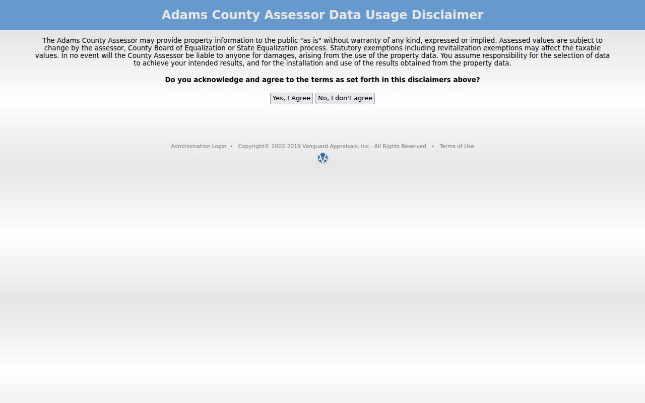
Use the returned legal description as the stable connection to the next record, especially if a street label has changed over time.
Map Hastings Streets by Parcel
The county and city GIS is a partnership of Adams County, the City of Hastings, and Hastings Utilities. Its applications describe parcels, subdivisions, lots, assessor and deed data, as well as zoning, schools, voting precincts, infrastructure, floodplain, and other layers. Use the map to understand where a parcel sits on a block, then use the legal description and recorded document for an ownership question.
The site says data are updated on the first business day of the month when needed, while each participating entity controls its displayed data. Exact address-search labels, popup order, export controls, and live layer behavior were not captured in the research. That limitation matters: a map click is a research aid, not a substitute for the recorded legal description.
- Parcel
- A county tax-map unit linked to land and assessment records.
- Situs address
- The physical property address, which can differ from a mailing address.
- Plat
- A recorded map that lays out lots, blocks, streets, or subdivisions.
- Criss-cross directory
- A reverse directory arranged by address rather than by surname, when a volume includes it.
Hastings Street Record Sources
A street search works best when each record set answers one limited question. The Assessor holds the current parcel path. The GIS maps its context. The Register of Deeds records deeds, mortgages, releases, liens, plats, surveys, and other instruments that affect property. City permit or code material may be address keyed, but no general public citywide search was located; a written request to the correct city department is the fallback.
| Record Set | Keeper | What It Shows | Access |
|---|---|---|---|
| Assessor parcel card | Adams County Assessor | PIN, deed holder, situs and legal-description fields if displayed | Current online search; older card by office request |
| GIS parcel layers | City/County/Utilities GIS | Mapped parcel, lots, subdivisions, zoning and other layers | Map applications; popup details not verified |
| Deed index and image | Adams County Register of Deeds | Parties, date, type, legal description, image indicator | Online index/image plus office or microfilm |
| Plat or survey | Register of Deeds imaging | Lot, block, subdivision, survey geometry | Legacy searches and office help |
| Directory or criss-cross volume | ACGS, library, OPL, FamilySearch | Dated occupant or business entry by address | Year-by-year holdings differ |
The parcel identifier and legal description provide the reliable bridge from an address to deeds. A street name remains useful for the postal form, the map, and historical directories, but a changed number or a similar street spelling deserves a second check. Nebraska voter records have strict examination, copying, and use limits, so a street directory should not reproduce voter data or turn a voter register into an online list.
Read Hastings Deed Trails
The Adams County Register of Deeds records the instruments that affect a parcel. Its office is at 500 N Denver Ave and is open Monday through Friday from 9:00 a.m. to 5:00 p.m. Documents are scanned and microfilmed daily. The office reports that microfilm can return a document within 24 hours, while originals are not kept except for plats. That provides a practical route when an older image is missing from a web result.
Nebraska Deeds Online uses Adams County code 14 and describes an index with instrument, date, document type, grantor, grantee, legal description, and an image or PDF indicator for scanned records. A mortgage release does not transfer title. A lien does not establish ownership. Read the instrument, its recording date, legal description, and any prior reference before drawing a connection along a Hastings street.
The county-selector screen for Nebraska Deeds Online is shown here.
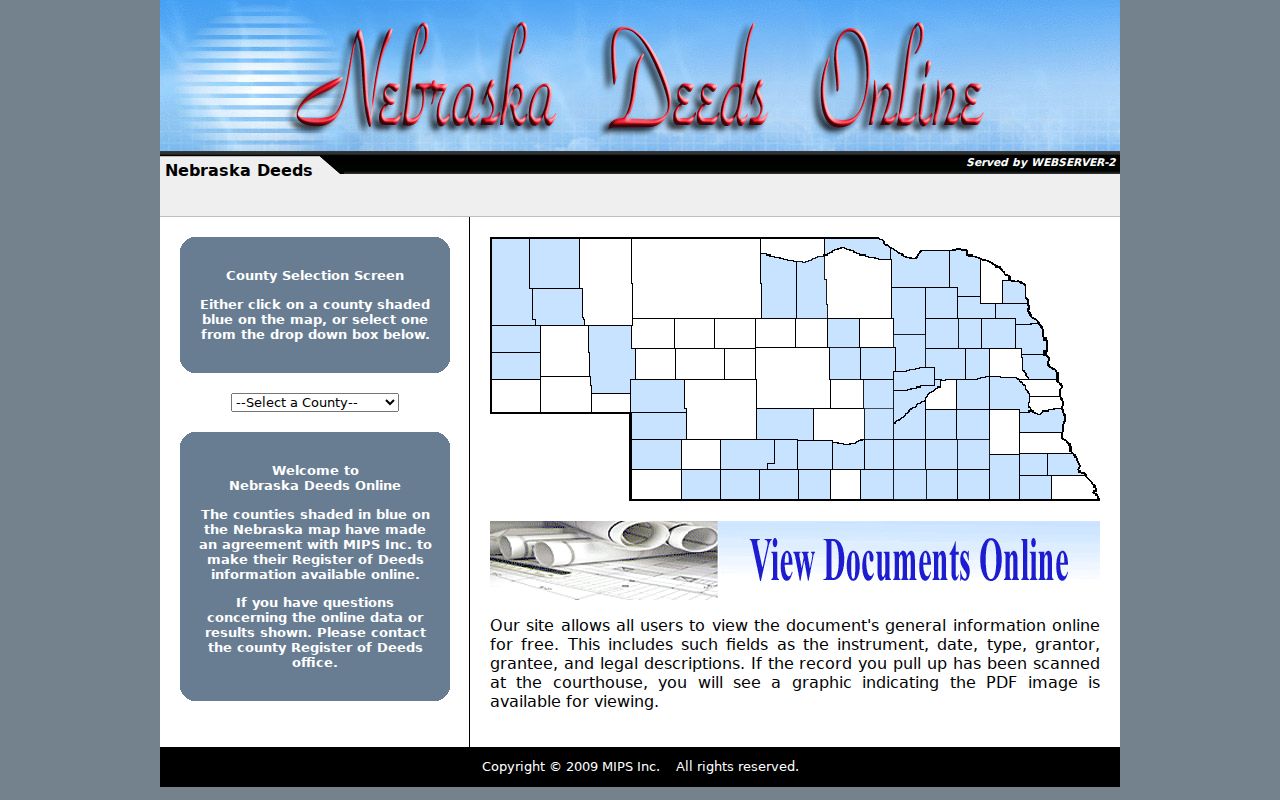
Its county selection is only the entry point. The legal description from the assessor card keeps the later instrument search tied to the right property.
Trace Older Hastings Addresses
When the current street directory reaches an older address, the local history shelf becomes more useful than a broad name search. The Adams County Genealogical Society reports Hastings directories from 1882 to the present. Hastings Public Library reports sporadic city-directory holdings from 1891 to 1960 and Tribune microfilm from October 2, 1905 to the present. Omaha Public Library supplies another microfilm route for 1891-1899, 1903-1915, 1917-1926, and 1928-1935.
Search the address or reverse section when the volume has one, then check the alphabetical listing and a nearby year. The Hastings city directories page has the collection detail. For a historic block, the 1899 Hastings Sanborn map adds street labels, block numbers, building footprints, and uses across 15 public-domain sheets. It does not name every household, but it can help bridge a plat, an old directory number, and the current parcel.
Note: No official Hastings street-renumbering or street-renaming index was located, so cite the plat, map, or directory cross-reference that supports any address change.
Confirm a Hastings Postal Address
Postal formatting comes before a parcel search because it reduces avoidable misses. The USPS tool accepts Street Address, City, and State for an address search, with Company, Apt/Suite/Other, and ZIP Code as optional details. By City and State and Cities by ZIP are separate paths. If several results appear, USPS advises narrowing with the unit or ZIP. A postal result verifies delivery formatting only, never a person or company at the address.
The USPS address-lookup interface below is the correct first stop for a spelling, directional, or unit question.
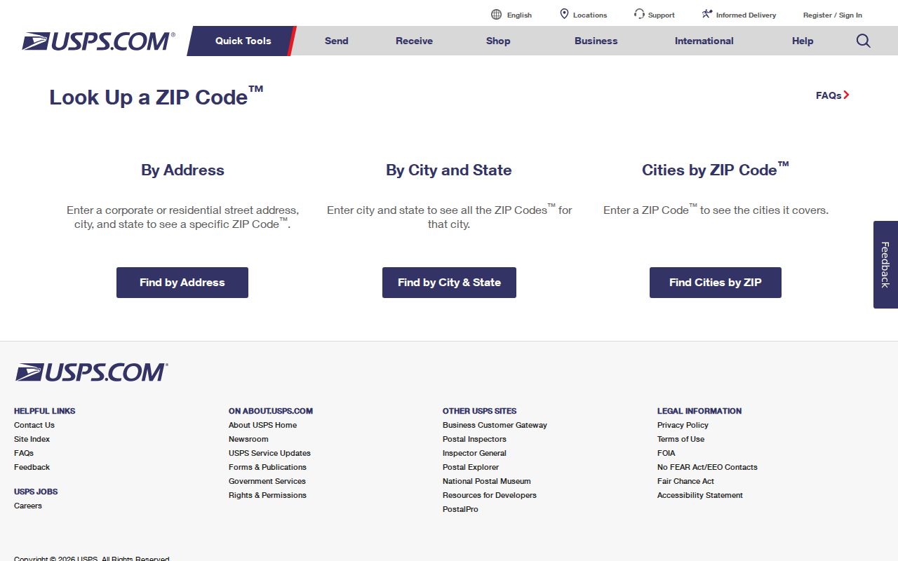
Once the address is normalized, transfer it to the assessor form instead of treating the ZIP result as a resident record.
Use Adams County Deed Search
The Adams County deed-index view is most useful after the address has produced a legal description or a recorded party name. Search grantor and grantee names as separate roles, then compare the date and instrument type. A later release, survey, or plat may explain why a parcel trail looks different than a plain address search. The recorder's daily scanning and microfilm workflow also offers an office route when the online view is incomplete.
The Adams County Deeds Online search entry is shown below. The live form behavior was not stable in the research capture, so use the county page or recorder staff if an expected field or image does not load.
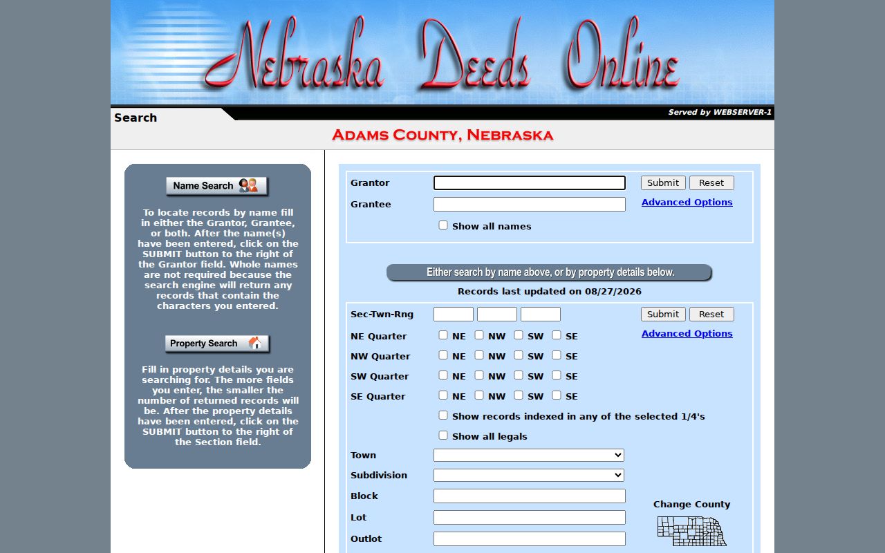
Record the instrument number, date, parties, type, and legal description, then keep a separate note for any directory occupant found at the same address.
Hastings Street Quadrants Explained
Hastings planning material uses South, West, Central, and East quadrants to describe broad city context. Those labels can help a reader interpret a planning study or map, but they are not postal ZIP boundaries and are not a formal roster of neighborhood groups. The 2025 Comprehensive Plan and the 2026 neighborhood-character study use the quadrant framework; the latter reported findings from a survey conducted late in 2025.
Keep that planning geography separate from the parcel and address chain in a Hastings street directory. GIS layers for zoning, schools, voting precincts, streets, and infrastructure each have a different custodian and purpose. No official street-renumbering index or formal neighborhood-association directory was found in this research, so do not fill those gaps with a guessed street history.
Limits of Hastings Street Records
A Hastings street directory cannot prove a full household, a present-day living arrangement, or an uninterrupted address history. An assessor card can identify a current recorded deed holder but not necessarily an occupant. A deed identifies parties to an instrument, not everyone who lived on the parcel. A dated directory entry can be valuable evidence, but it may describe a boarder, business, or household at publication time rather than a current address.
Nebraska law also protects many fields. Motor-vehicle information is limited by the state motor-vehicle disclosure law. Voter lists have specific permitted uses and cannot be posted online. Vital records, library-patron information, confidential court material, Address Confidentiality Program data, and protected victim information are outside this kind of address research. When a city permit or other record is unavailable online, request a defined series, date range, and address from the custodian and ask for non-exempt portions.
Lawful use. Hastings address records are for personal, lawful research and property or family-history questions. Never use them to stalk, harass, intimidate, or harm another person.